BIM Feature Extraction Dataset
Evaluation
Data Description
| Name | Size | Data description | Visualization | Line framework | ||
| mimap bim 00 | 14.2 MB | A closed-loop corridor | 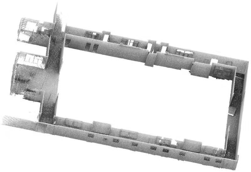 | 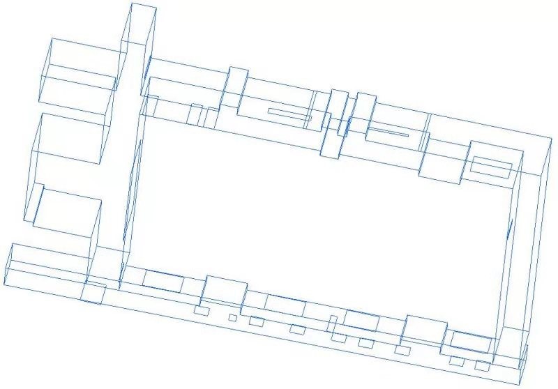 | ||
| mimap bim 01 | 105 MB | A corridor and multiple rooms | 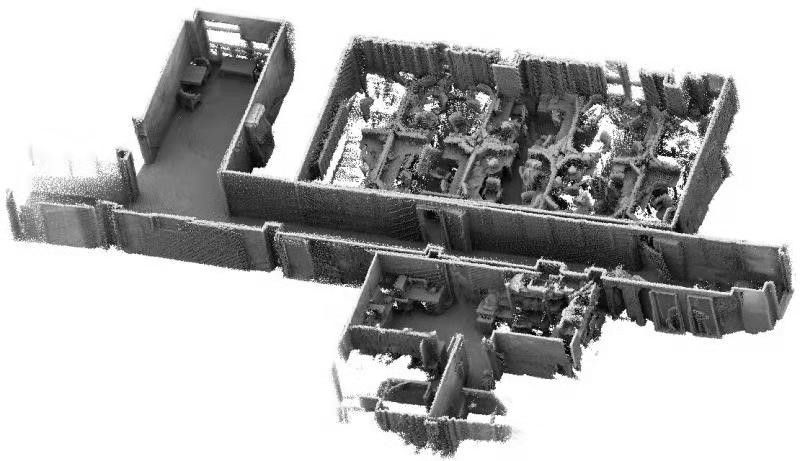 | 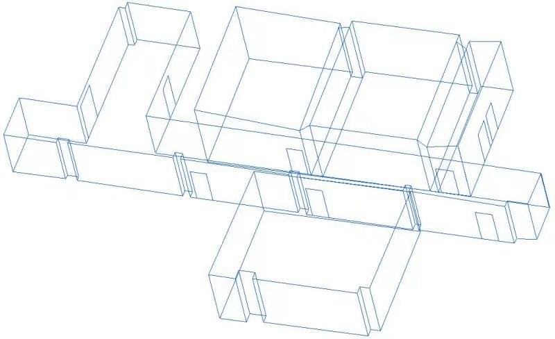 | ||
| mimap bim 02 | 237 MB | A closed-loop corridor and multiple rooms | 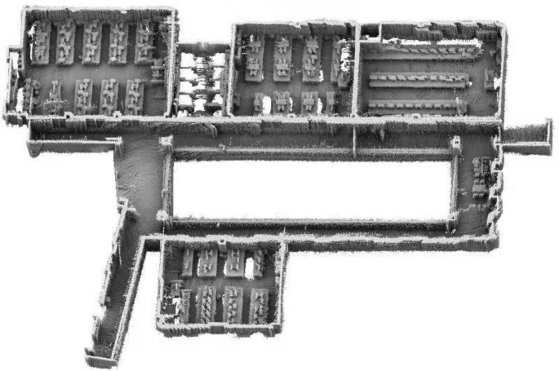 | 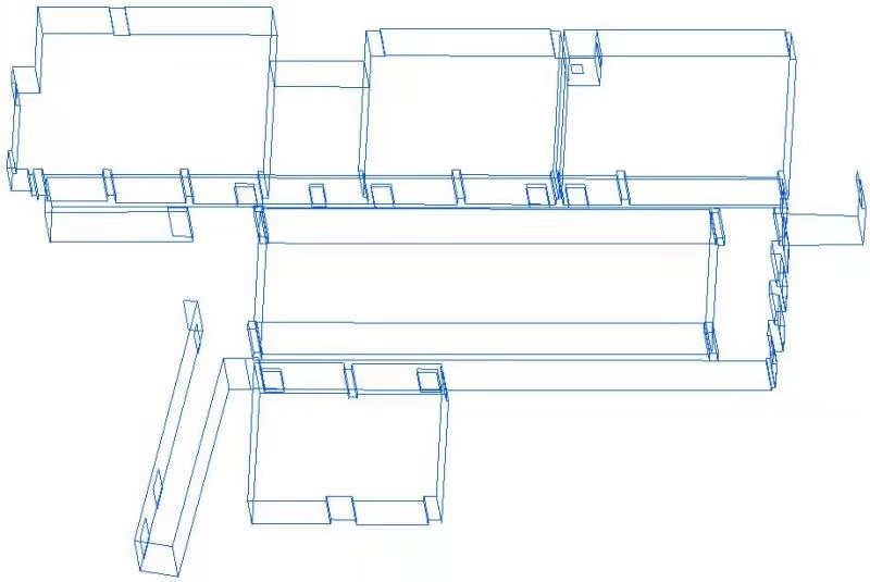 |
Download
Download per country
Copyright
The MiMAP is published under the Creative Commons Attribution-NonCommercial-ShareAlike 3.0 License (https://creativecommons.org/licenses/by-nc-sa/3.0/). You must attribute the work in the manner specified by the authors, you may not use this work for commercial purposes and if you alter, transform, or build upon this work, you may distribute the resulting work only under the same license. Contact us if you are interested in commercial usage.
Citation
If you use MiMAP benchmark, please cite both the following papers:
-
C. Wen, Y. Dai, Y. Xia, Y. Lian, C. Wang, J. Li, Towards Efficient 3-D Colored Mapping in GPS/GNSS-denied Environments, IEEE Geoscience and Remote Sensing Letters, 17, 147-151, 2020.
C. Wang, S. Hou, C. Wen, Z. Gong, Q. Li, X. Sun, J. Li, Semantic Line Framework-based Indoor Building Modeling using Backpacked Laser Scanning Point Cloud, ISPRS Journal of Photogrammetry and Remote Sensing, Vol. 143, pp. 150-166, 2018.